


0
Ascents

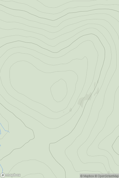
 Tomintoul to Banff
 0
0 595.0
595.0User Activity
No recent Activity
0
Ascents
Lancashire, Cheshire and S Pennines
0
363.0User Activity
No recent Activity
0
Ascents
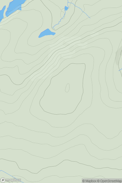
Loch Vaich to Moray Firth
0
531.0User Activity
No recent Activity
0
Ascents
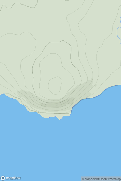
Carrick and Galloway
0
76.0User Activity
No recent Activity
0
Ascents
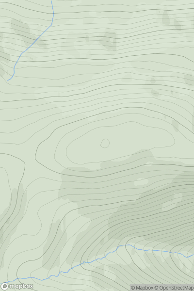
Loch Linnhe to Loch Etive
0
841.0User Activity
No recent Activity
0
Ascents
Central Scotland from Dumbarton to Montrose
0
104.0User Activity
No recent Activity