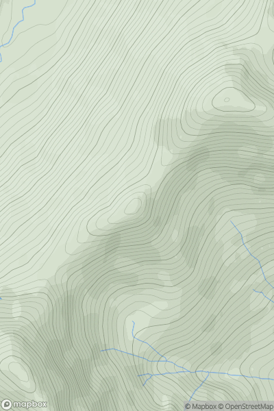
Ariel drone view of mountainous landscape with rolling clouds flowing over peak

Journal your hikes and share your adventures.

Bag peaks across the UK & Ireland, track your progress and see updates from Donder's growing community of hikers.

Donder's profile view available to users after sign-up, shows example user with progress tracking, hiking journal and user leaderboard

Thumbnail image for Beinn nan Caorach [Lochinver to Ullapool] showing contour plot for surrounding peak
SCO
Icon of location pin
649m
Icon of vertical, double ended, arrow to symbolise height of mountain

Beinn nan Caorach [Lochinver to Ullapool]

Icon of mountain used to symbolise the number of ascents made by users

0
Ascents

Thumbnail image for Stob Coire a' Chairn South Top showing contour plot for surrounding peak
SCO
Icon of location pin
909m
Icon of vertical, double ended, arrow to symbolise height of mountain

Stob Coire a' Chairn South Top

Icon of mountain used to symbolise the number of ascents made by users

0
Ascents

Thumbnail image for Carn Ruadh-bhreac showing contour plot for surrounding peak
SCO
Icon of location pin
618m
Icon of vertical, double ended, arrow to symbolise height of mountain

Carn Ruadh-bhreac

Icon of mountain used to symbolise the number of ascents made by users

0
Ascents

Thumbnail image for Beinn an Albannaich showing contour plot for surrounding peak
SCO
Icon of location pin
619m
Icon of vertical, double ended, arrow to symbolise height of mountain

Beinn an Albannaich

Icon of mountain used to symbolise the number of ascents made by users

0
Ascents

Thumbnail image for Meall nan Sleac showing contour plot for surrounding peak
SCO
Icon of location pin
800m
Icon of vertical, double ended, arrow to symbolise height of mountain

Meall nan Sleac

Icon of mountain used to symbolise the number of ascents made by users

0
Ascents

Thumbnail image for The Fara South Top showing contour plot for surrounding peak
SCO
Icon of location pin
904m
Icon of vertical, double ended, arrow to symbolise height of mountain

The Fara South Top

Icon of mountain used to symbolise the number of ascents made by users

0
Ascents