


0
Ascents

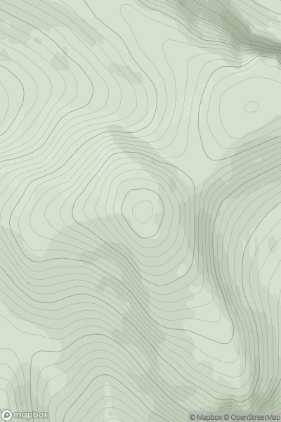
 Loch Broom to Strath Oykel
 0
0 874.0
874.0User Activity
No recent Activity
![Thumbnail image for The Saddle [Glen Shiel to Loch Hourn and Loch Quoich] showing contour plot for surrounding peak](/static/img/mountains_img_db/688_The_Saddle_[Glen_Shiel_to_Loch_Hourn_and_Loch_Quoich].png)
0
Ascents
Glen Shiel to Loch Hourn and Loch Quoich
0
1011.5User Activity
No recent Activity
![Thumbnail image for Cul Beag [Lochinver to Ullapool] showing contour plot for surrounding peak](/static/img/mountains_img_db/1207_Cul_Beag_[Lochinver_to_Ullapool].png)
0
Ascents
Lochinver to Ullapool
0
769.4User Activity
No recent Activity
.png)
0
Ascents
Wicklow Hills S
0
758.0User Activity
No recent Activity
![Thumbnail image for Beinn Bhreac [Inveraray to Crianlarich] showing contour plot for surrounding peak](/static/img/mountains_img_db/3983_Beinn_Bhreac_[Inveraray_to_Crianlarich].png)
0
Ascents
Inveraray to Crianlarich
0
629.9User Activity
No recent Activity
![Thumbnail image for A' Mharconaich [Loch Ericht to Glen Tromie & Glen Garry] [NN708848] showing contour plot for surrounding peak](/static/img/mountains_img_db/3024_A'_Mharconaich_[Loch_Ericht_to_Glen_Tromie_&_Glen_Garry]_[NN708848].png)
0
Ascents
Loch Ericht to Glen Tromie & Glen Garry
0
882.0User Activity
No recent Activity