


0
Ascents

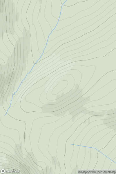
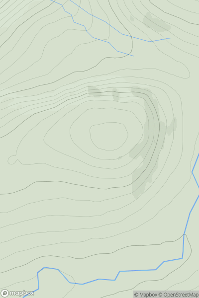
 Loch Treig to Loch Ericht
 0
0 802.0
802.0User Activity
No recent Activity
0
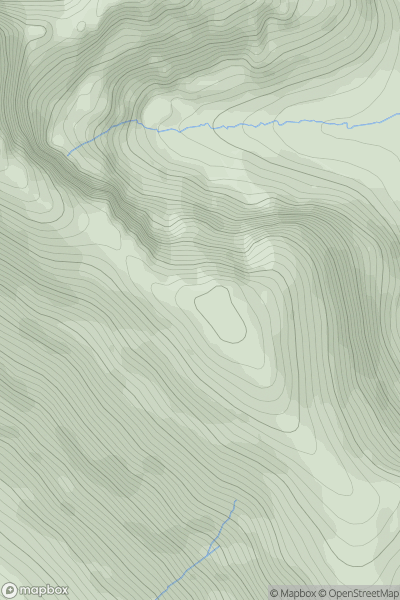
Ascents
Applecross to Achnasheen
0
763.0User Activity
No recent Activity
0
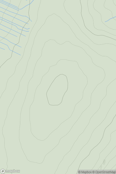
Ascents
North Pennines
0
710.0User Activity
No recent Activity
0
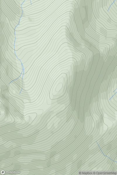
Ascents
Loch Linnhe to Loch Etive
0
947.0User Activity
No recent Activity
0
Ascents
Glen Albyn and the Monadh Liath
0
801.0User Activity
No recent Activity
0
Ascents
Inveraray to Crianlarich
0
1029.0User Activity
No recent Activity