

.png)


0
Ascents

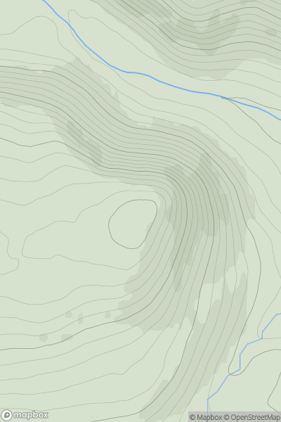
 Galty Mountains
 0
0 799.2
799.2User Activity
No recent Activity
0
Ascents
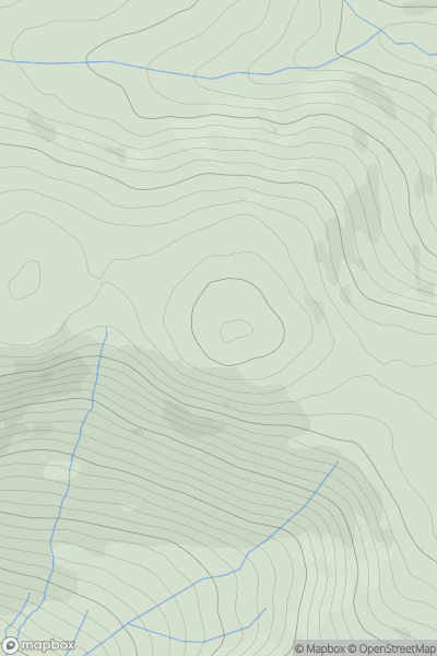
Cairngorms
0
715.0User Activity
No recent Activity
0
Ascents
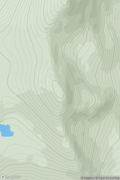
Bala to Welshpool
0
665.0User Activity
No recent Activity
0
Ascents
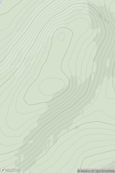
The Fannaichs
0
868.0User Activity
No recent Activity
0
Ascents
Cairngorms
0
772.1User Activity
No recent Activity
0
Ascents
Snowdonia
0
669.0User Activity
No recent Activity