

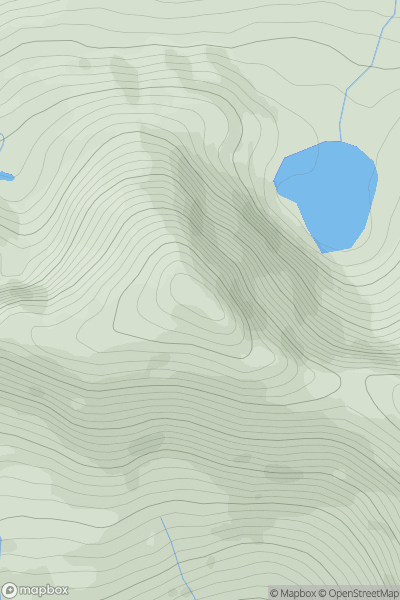
_(Stob_Fear-tomhais)_(Beinn_Stacath).png)


0
Ascents

 Loch Lomond to Strathyre
 0
0 771.8
771.8User Activity
No recent Activity
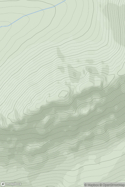
.png)
0
Ascents
Dingle Peninsula - E of Dingle
0
826.0User Activity
No recent Activity
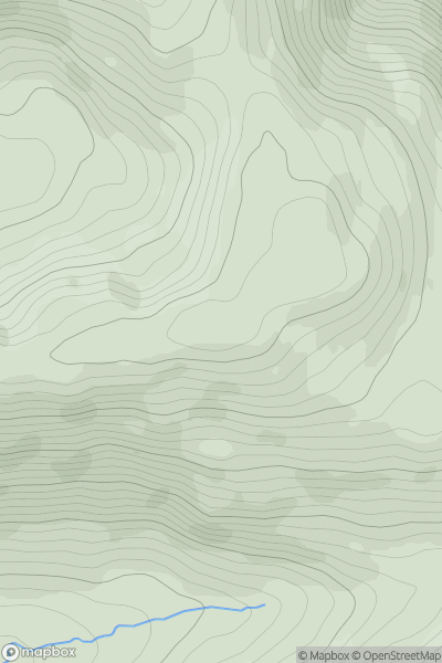
![Thumbnail image for Meall Dubh [Loch Maree to Loch Broom] [NH102748] showing contour plot for surrounding peak](/static/img/mountains_img_db/4398_Meall_Dubh_[Loch_Maree_to_Loch_Broom]_[NH102748].png)
0
Ascents
Loch Maree to Loch Broom
0
748.7User Activity
No recent Activity
0
Ascents
Kyle of Lochalsh to Garve
0
1049.0User Activity
No recent Activity
0
Ascents
Lochinver to Ullapool
0
738.0User Activity
No recent Activity
0
Ascents
Sunart and Ardgour
0
627.4User Activity
No recent Activity