

![Thumbnail image for Beinn Bhuraich [Glen Albyn and the Monadh Liath] [NH582157] showing contour plot for surrounding peak](/static/img/mountains_img_db/3164_Beinn_Bhuraich_[Glen_Albyn_and_the_Monadh_Liath]_[NH582157].png)


0
Ascents

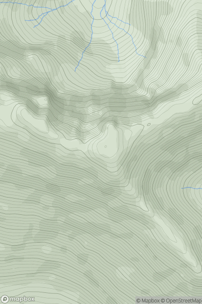
 Glen Albyn and the Monadh Liath
 0
0 781.0
781.0User Activity
No recent Activity
0
Ascents
South Mayo and Central Galway
0
793.0User Activity
No recent Activity
![Thumbnail image for Stob a' Choire Odhair [Knoydart to Glen Kingie] showing contour plot for surrounding peak](/static/img/mountains_img_db/735_Stob_a'_Choire_Odhair_[Knoydart_to_Glen_Kingie].png)
0
Ascents
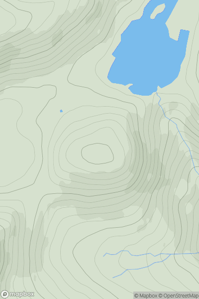
Knoydart to Glen Kingie
0
960.0User Activity
No recent Activity
0
Ascents
Cairngorms
0
711.0User Activity
No recent Activity
0
Ascents
Pitlochry to Braemar & Blairgowrie
0
858.5User Activity
No recent Activity
![Thumbnail image for Hart Crag [Lake District E] [NY368112] showing contour plot for surrounding peak](/static/img/mountains_img_db/2529_Hart_Crag_[Lake_District_E]_[NY368112].png)
0
Ascents
Lake District E
0
823.1User Activity
No recent Activity