

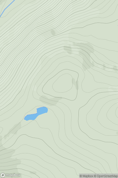
_(Cnoc_na_Manach).png)


0
Ascents

 Shehy Mountains
 0
0 637.0
637.0User Activity
No recent Activity
![Thumbnail image for Carn Mor [Pitlochry to Braemar & Blairgowrie] [NO103871] showing contour plot for surrounding peak](/static/img/mountains_img_db/4091_Carn_Mor_[Pitlochry_to_Braemar_&_Blairgowrie]_[NO103871].png)
0
Ascents
Pitlochry to Braemar & Blairgowrie
0
706.0User Activity
No recent Activity
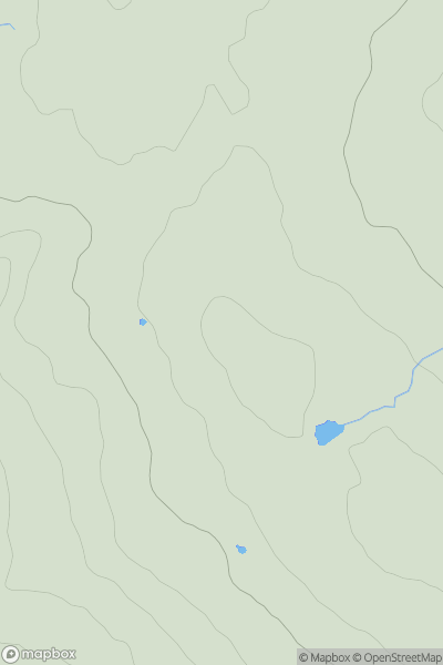
0
Ascents
Kyle of Lochalsh to Garve
0
626.5User Activity
No recent Activity
![Thumbnail image for Meall Odhar [Strathyre to Strathallan] showing contour plot for surrounding peak](/static/img/mountains_img_db/3945_Meall_Odhar_[Strathyre_to_Strathallan].png)
0
Ascents
Strathyre to Strathallan
0
646.0User Activity
No recent Activity
0
Ascents
North Pennines
0
673.6User Activity
No recent Activity
![Thumbnail image for Black Craig [Braemar to Montrose] [NO430905] showing contour plot for surrounding peak](/static/img/mountains_img_db/4144_Black_Craig_[Braemar_to_Montrose]_[NO430905].png)
0
Ascents
Braemar to Montrose
0
640.0User Activity
No recent Activity