


0
Ascents

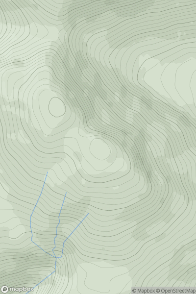
 Mallaig to Fort William
 0
0 795.0
795.0User Activity
No recent Activity
![Thumbnail image for Beinn Gharbh [Mallaig to Fort William] [NM922881] showing contour plot for surrounding peak](/static/img/mountains_img_db/3204_Beinn_Gharbh_[Mallaig_to_Fort_William]_[NM922881].png)
0
Ascents
Mallaig to Fort William
0
825.0User Activity
No recent Activity
0
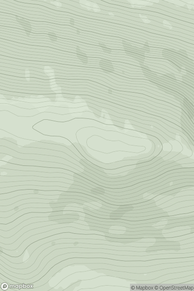
Ascents
Kyle of Lochalsh to Garve
0
681.0User Activity
No recent Activity
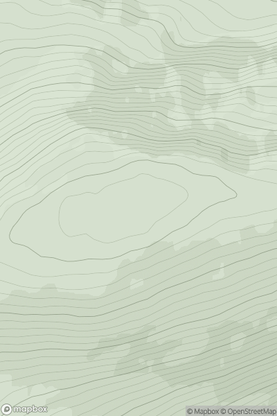
![Thumbnail image for Carn na Drochaide [Cairngorms] showing contour plot for surrounding peak](/static/img/mountains_img_db/599_Carn_na_Drochaide_[Cairngorms].png)
0
Ascents
Cairngorms
0
818.0User Activity
No recent Activity
![Thumbnail image for Sron Liath [Loch Broom to Strath Oykel] showing contour plot for surrounding peak](/static/img/mountains_img_db/4419_Sron_Liath_[Loch_Broom_to_Strath_Oykel].png)
0
Ascents
Loch Broom to Strath Oykel
0
761.0User Activity
No recent Activity
0
Ascents
Mallaig to Fort William
0
671.0User Activity
No recent Activity