


0
Ascents

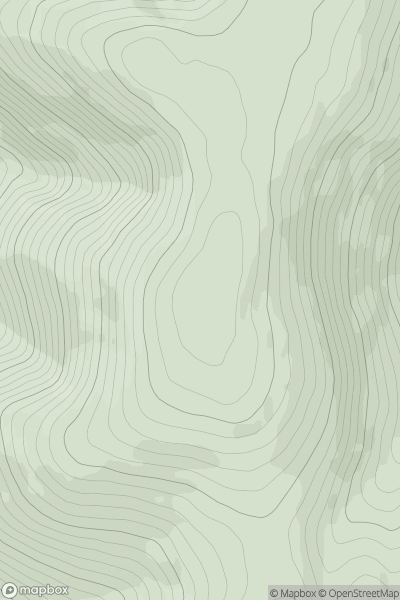
 The River Tweed to the English Border
 0
0 732.0
732.0User Activity
No recent Activity
0
Ascents
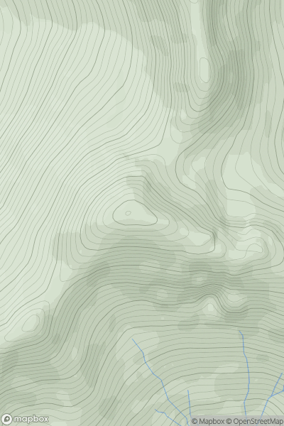
Fort William to Loch Treig & Loch Leven
0
981.3User Activity
No recent Activity
0
Ascents
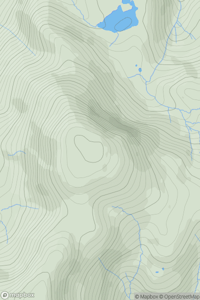
Lake District C&W
0
909.5User Activity
No recent Activity
0
Ascents
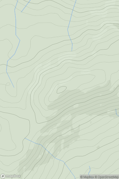
Snowdonia
0
610.0User Activity
No recent Activity
0
Ascents
Loch Rannoch to Glen Lyon
0
745.0User Activity
No recent Activity
0
Ascents
Northumberland
0
616.2User Activity
No recent Activity