


0
Ascents

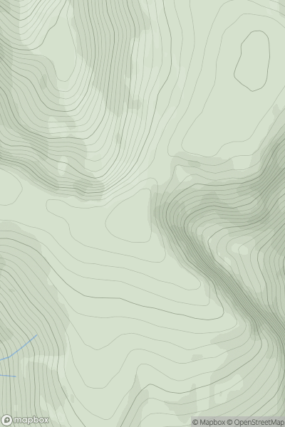
 Kyle of Lochalsh to Garve
 0
0 1005.3
User Activity
No recent Activity
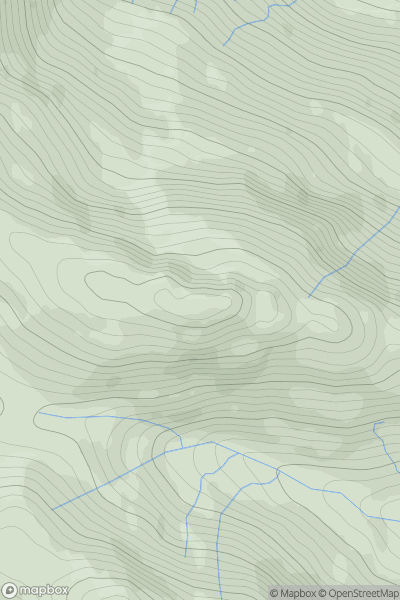
![Thumbnail image for Beinn Dearg [Loch Rannoch to Glen Lyon] showing contour plot for surrounding peak](/static/img/mountains_img_db/134_Beinn_Dearg_[Loch_Rannoch_to_Glen_Lyon].png)
0
Ascents
Loch Rannoch to Glen Lyon
0
830.0User Activity
No recent Activity
0
Ascents
Loch Fyne to Bute and the Firth of Clyde
0
640.0User Activity
No recent Activity
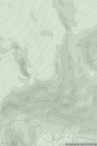
![Thumbnail image for Beinn an Lochain [Loch Fyne to Bute and the Firth of Clyde] showing contour plot for surrounding peak](/static/img/mountains_img_db/1419_Beinn_an_Lochain_[Loch_Fyne_to_Bute_and_the_Firth_of_Clyde].png)
0
Ascents
Loch Fyne to Bute and the Firth of Clyde
0
901.7User Activity
No recent Activity
0
Ascents
Glen Etive to Glen Lochy
0
880.0User Activity
No recent Activity
![Thumbnail image for Sgurr Thuilm [Minginish and the Cuillin Hills] showing contour plot for surrounding peak](/static/img/mountains_img_db/3294_Sgurr_Thuilm_[Minginish_and_the_Cuillin_Hills].png)
0
Ascents
Minginish and the Cuillin Hills
0
881.0User Activity
No recent Activity