


0
Ascents

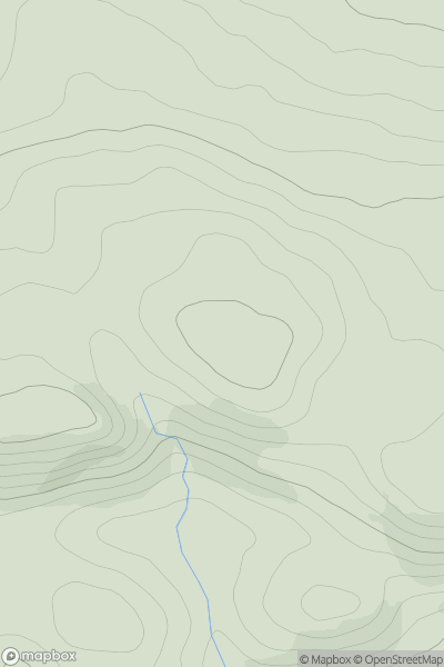
 Loch Tay to Perth
 0
0 612.0
612.0User Activity
No recent Activity
0
Ascents
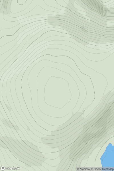
Durness to Loch Shin
0
688.9User Activity
No recent Activity
.png)
0
Ascents
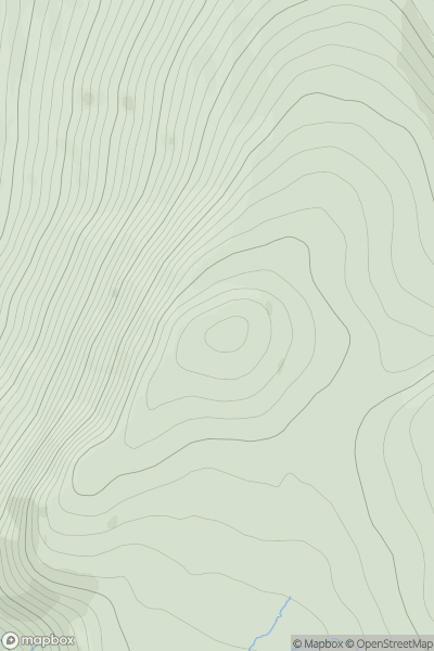
Iveragh Peninsula N
0
772.0User Activity
No recent Activity
.png)
0
Ascents
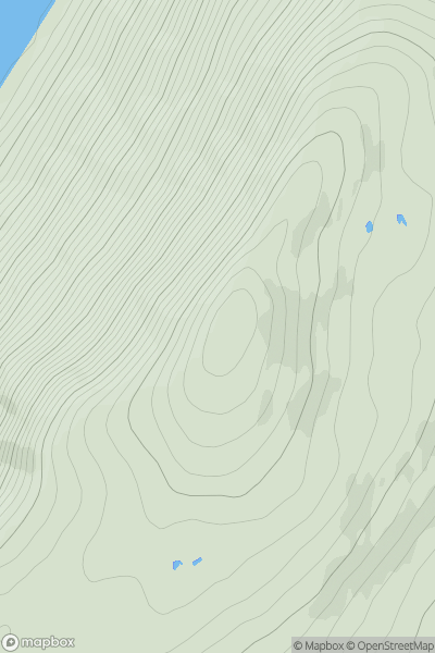
Knockmealdown, Comeragh and Monavullagh Mountains
0
792.4User Activity
No recent Activity
0
Ascents
Loch Rannoch to Glen Lyon
0
798.0User Activity
No recent Activity
0
Ascents
Loch Ericht to Glen Tromie & Glen Garry
0
855.0User Activity
No recent Activity