


0
Ascents

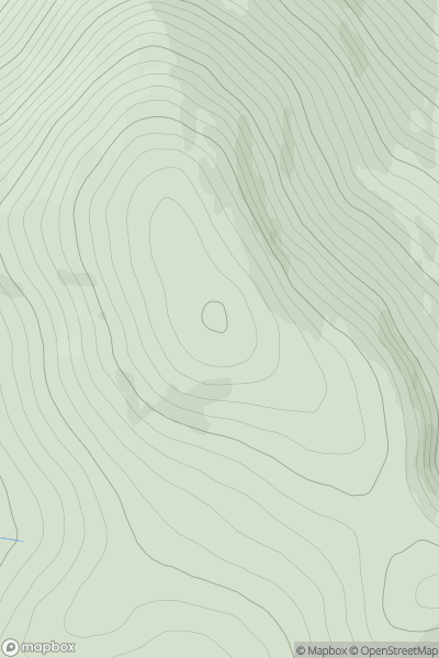
 Pitlochry to Braemar & Blairgowrie
 0
0 903.0
903.0User Activity
No recent Activity
![Thumbnail image for Carn Creagach [Pitlochry to Braemar & Blairgowrie] showing contour plot for surrounding peak](/static/img/mountains_img_db/3067_Carn_Creagach_[Pitlochry_to_Braemar_&_Blairgowrie].png)
0
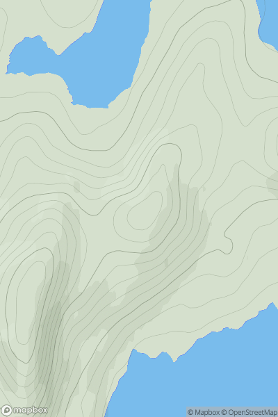
Ascents
Pitlochry to Braemar & Blairgowrie
0
894.0User Activity
No recent Activity
.png)
0
Ascents
Galty Mountains
0
601.3User Activity
No recent Activity
0
Ascents
Glen Affric to Glen Moriston
0
639.2User Activity
No recent Activity
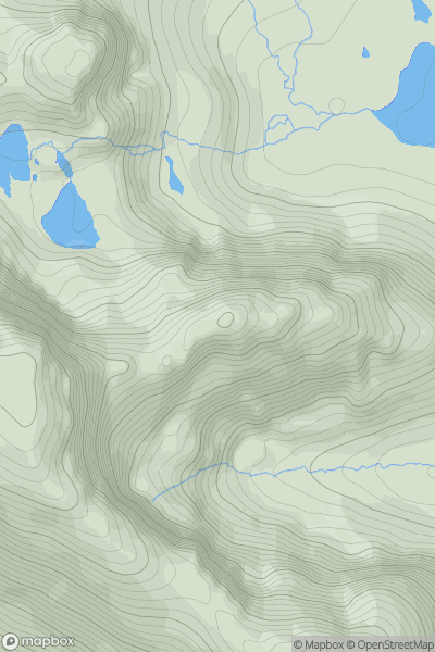
![Thumbnail image for Windy Standard [The Glenkens to Annandale] [NS620014] showing contour plot for surrounding peak](/static/img/mountains_img_db/1744_Windy_Standard_[The_Glenkens_to_Annandale]_[NS620014].png)
0
Ascents
The Glenkens to Annandale
0
697.9User Activity
No recent Activity
0
Ascents
Applecross to Achnasheen
0
754.4User Activity
No recent Activity