


0
Ascents

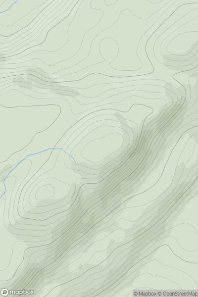
 Loch Lomond to Strathyre
 0
0 400.0
400.0User Activity
No recent Activity
0
Ascents
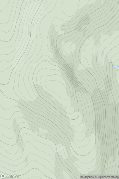
Loch Ericht to Glen Tromie & Glen Garry
0
892.2User Activity
No recent Activity
_(Trallval).png)
0
Ascents
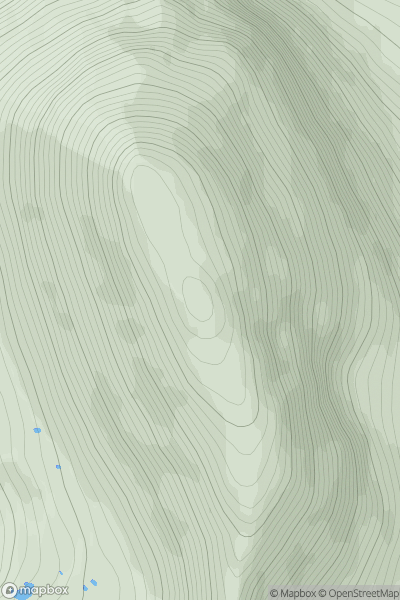
Canna, Rhum and Eigg
0
702.0User Activity
No recent Activity
![Thumbnail image for Creag Dhubh [Glen Affric to Glen Moriston] showing contour plot for surrounding peak](/static/img/mountains_img_db/882_Creag_Dhubh_[Glen_Affric_to_Glen_Moriston].png)
0
Ascents
Glen Affric to Glen Moriston
0
539.0User Activity
No recent Activity
0
Ascents
Loch Torridon to Loch Maree
0
1010.0User Activity
No recent Activity
![Thumbnail image for Beinn na Sroine [Glen Etive to Glen Lochy] showing contour plot for surrounding peak](/static/img/mountains_img_db/274_Beinn_na_Sroine_[Glen_Etive_to_Glen_Lochy].png)
0
Ascents
Glen Etive to Glen Lochy
0
636.0User Activity
No recent Activity