

_(Knocknasilloge).png)


0
Ascents

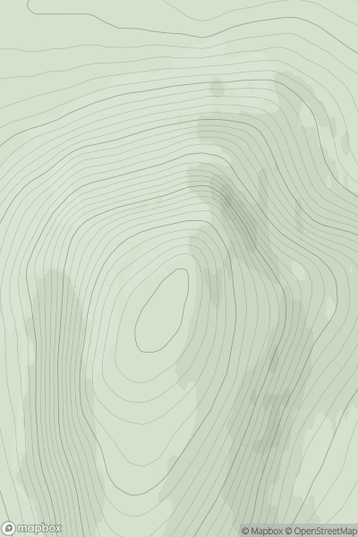
 Maumturk Mountains
 0
0 346.0
346.0User Activity
No recent Activity
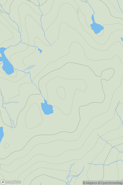
![Thumbnail image for Ben Vorlich [Strathyre to Strathallan] showing contour plot for surrounding peak](/static/img/mountains_img_db/17_Ben_Vorlich_[Strathyre_to_Strathallan].png)
0
Ascents
Strathyre to Strathallan
0
985.3User Activity
No recent Activity
0
Ascents
Cape Wrath Peninsula
0
460.0User Activity
No recent Activity
0
Ascents
South-East Skye and Scalpay
0
281.2User Activity
No recent Activity
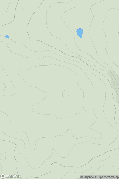
![Thumbnail image for Creag a' Mhadaidh [Loch Ericht to Glen Tromie & Glen Garry] showing contour plot for surrounding peak](/static/img/mountains_img_db/404_Creag_a'_Mhadaidh_[Loch_Ericht_to_Glen_Tromie_&_Glen_Garry].png)
0
Ascents
Loch Ericht to Glen Tromie & Glen Garry
0
611.4User Activity
No recent Activity
0
Ascents
Welsh Borders S
0
290.0User Activity
No recent Activity