

.png)


0
Ascents

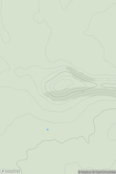
 Kyle of Lochalsh to Garve
 0
0 862.0
862.0User Activity
No recent Activity
0
Ascents
South Central England
0
288.0User Activity
No recent Activity
0
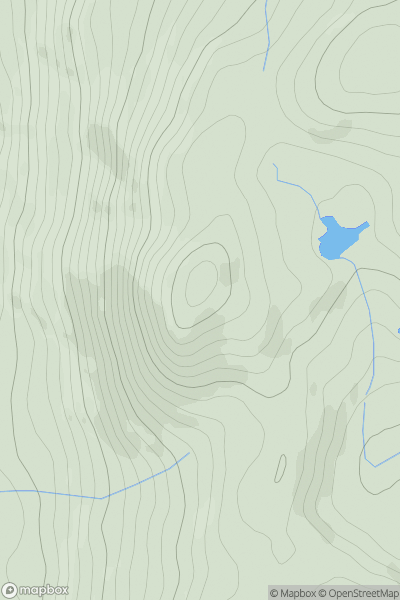
Ascents
Lake District S
0
321.0User Activity
No recent Activity
0
Ascents
Morvern and Kingairloch
0
515.0User Activity
No recent Activity
0
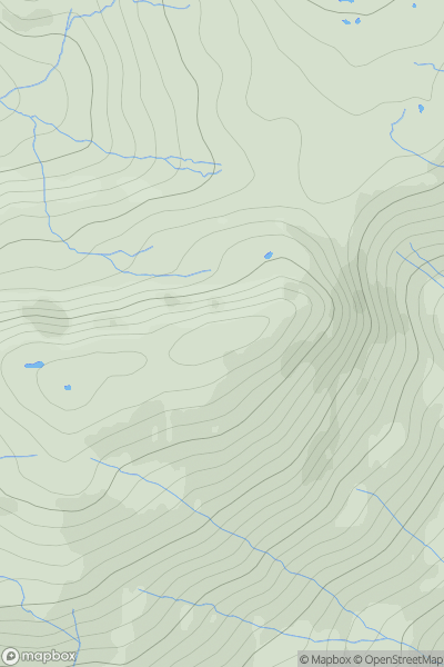
Ascents
Loch Torridon to Loch Maree
0
875.0User Activity
No recent Activity
_(Aghla_Mountain_South_Top).png)
0
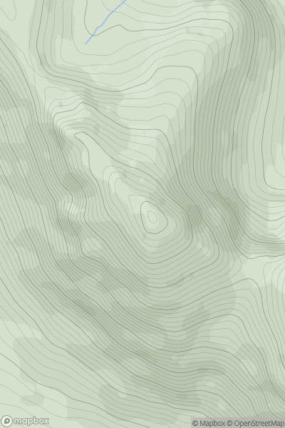
Ascents
Blue Stack Mountains
0
593.0User Activity
No recent Activity