


0
Ascents

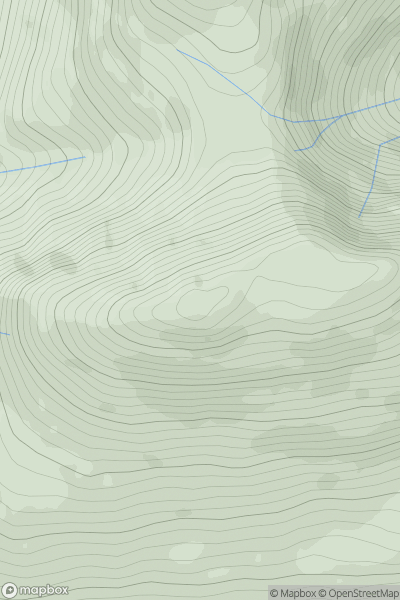
 Glen Etive to Glen Lochy
 0
0 898.4
898.4User Activity
No recent Activity
0
Ascents
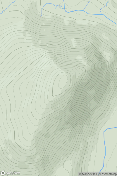
Fort William to Loch Treig & Loch Leven
0
621.0User Activity
No recent Activity
0
Ascents
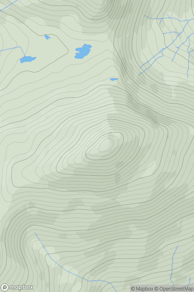
Snowdonia
0
747.2User Activity
No recent Activity
0
Ascents
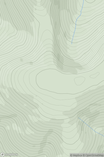
Carrick and Galloway
0
814.0User Activity
No recent Activity
0
Ascents
Braemar to Montrose
0
599.2User Activity
No recent Activity
0
Ascents
Tomintoul to Banff
0
471.0User Activity
No recent Activity