


0
Ascents

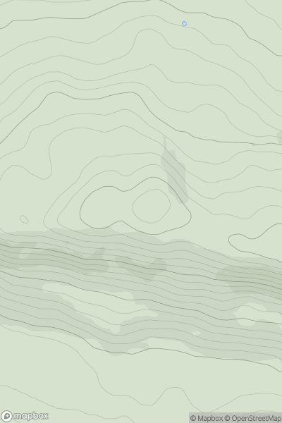
 Central Scotland from Dumbarton to Montrose
 0
0 223.0
223.0User Activity
No recent Activity
0
Ascents
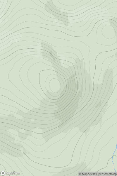
Loch Vaich to Moray Firth
0
839.0User Activity
No recent Activity
.png)
0
Ascents
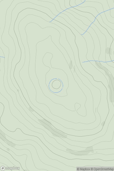
Blue Stack Mountains
0
569.1User Activity
No recent Activity
0
Ascents
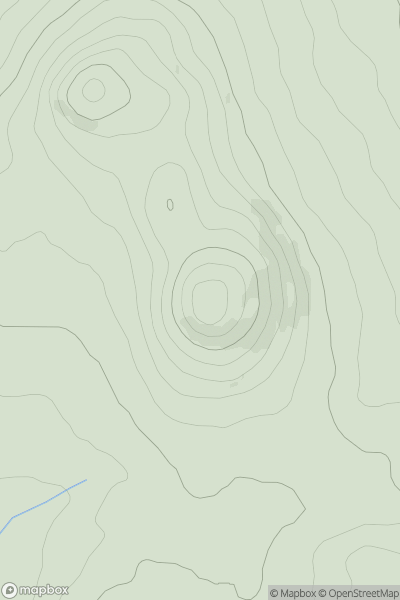
Welsh Borders S
0
296.0User Activity
No recent Activity
0
Ascents
Anglesey and the Lleyn Peninsula
0
235.9User Activity
No recent Activity
0
Ascents
Lancashire, Cheshire and S Pennines
0
559.0User Activity
No recent Activity