


0
Ascents

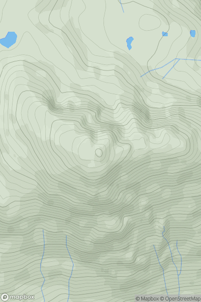
 Inveraray to Crianlarich
 0
0 915.76
User Activity
No recent Activity
0
Ascents
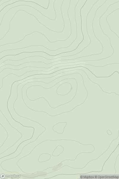
County Clare
0
309.0User Activity
No recent Activity
0
Ascents
Llandovery to Monmouth
0
617.3User Activity
No recent Activity
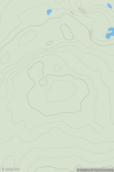
![Thumbnail image for Beinn Ghlas [Oban to Loch Fyne] [NR989992] showing contour plot for surrounding peak](/static/img/mountains_img_db/1392_Beinn_Ghlas_[Oban_to_Loch_Fyne]_[NR989992].png)
0
Ascents
Oban to Loch Fyne
0
420.0User Activity
No recent Activity
0
Ascents
Central Pennines
0
736.6User Activity
No recent Activity
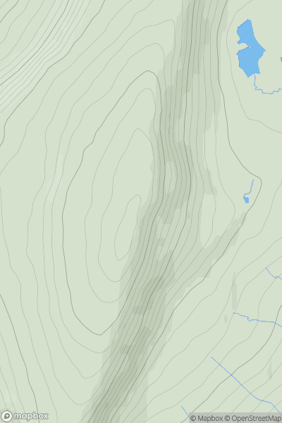
![Thumbnail image for Geal-charn [Loch Treig to Loch Ericht] showing contour plot for surrounding peak](/static/img/mountains_img_db/346_Geal-charn_[Loch_Treig_to_Loch_Ericht].png)
0
Ascents
Loch Treig to Loch Ericht
0
1132.0User Activity
No recent Activity