


0
Ascents

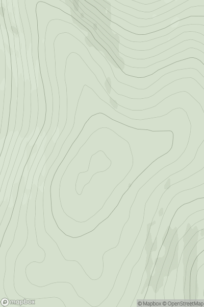
 Glen Albyn and the Monadh Liath
 0
0 824.0
824.0User Activity
No recent Activity
0
Ascents
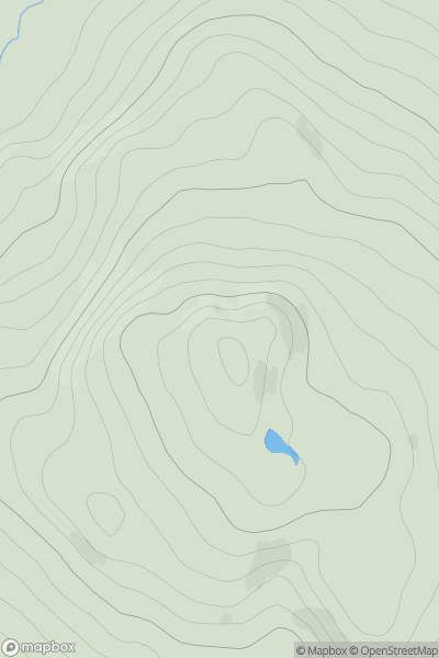
North Skye and Raasay
0
439.0User Activity
No recent Activity
0
Ascents
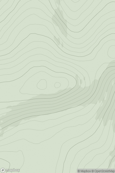
Fraserburgh to the Dee Valley
0
476.0User Activity
No recent Activity
.png)
0
Ascents
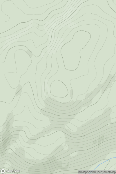
Waterford, Kilkenny, Carlow
0
365.0User Activity
No recent Activity
0
Ascents
Oban to Loch Fyne
0
515.0User Activity
No recent Activity
0
Ascents
Firth of Forth to the River Tweed
0
468.0User Activity
No recent Activity