

![Thumbnail image for Beinn an Lochain [Loch Fyne to Bute and the Firth of Clyde] showing contour plot for surrounding peak](/static/img/mountains_img_db/1419_Beinn_an_Lochain_[Loch_Fyne_to_Bute_and_the_Firth_of_Clyde].png)


0
Ascents

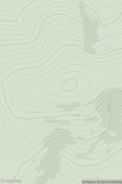
 Loch Fyne to Bute and the Firth of Clyde
 0
0 901.7
901.7User Activity
No recent Activity
0
Ascents
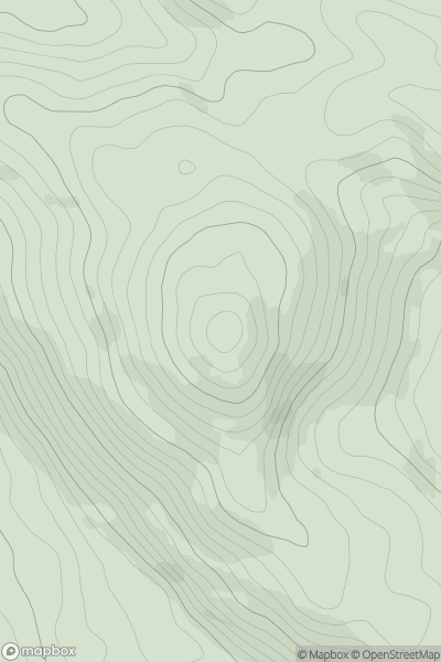
County Tipperary
0
457.0User Activity
No recent Activity
0
Ascents
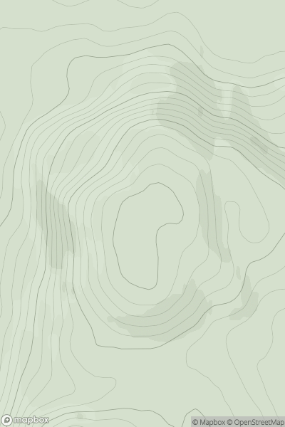
The Glenkens to Annandale
0
391.0User Activity
No recent Activity
0
Ascents
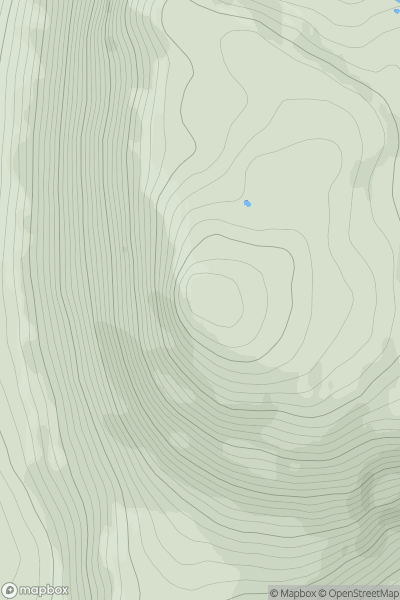
Lewis and Nearby Islands
0
261.9User Activity
No recent Activity
0
Ascents
Loch Torridon to Loch Maree
0
725.4User Activity
No recent Activity
0
Ascents
Firth of Forth to the River Tweed
0
651.0User Activity
No recent Activity