


0
Ascents

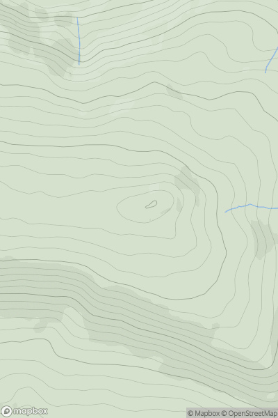
 Lancashire, Cheshire and S Pennines
 0
0 463.4
463.4User Activity
No recent Activity
![Thumbnail image for Carn na Cre [Kyle of Lochalsh to Garve] [NH284480] showing contour plot for surrounding peak](/static/img/mountains_img_db/4665_Carn_na_Cre_[Kyle_of_Lochalsh_to_Garve]_[NH284480].png)
0
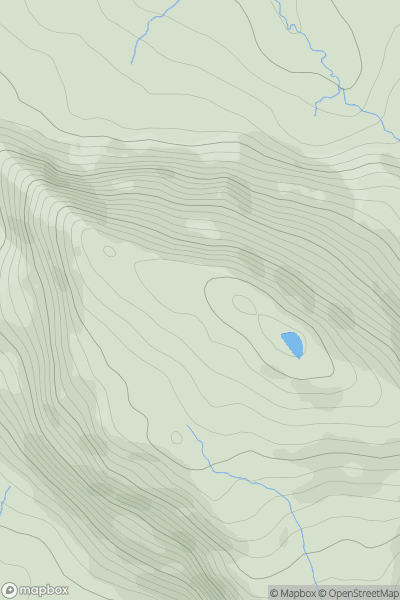
Ascents
Kyle of Lochalsh to Garve
0
569.2User Activity
No recent Activity
![Thumbnail image for Creag an Fhithich [Inverness to Strathspey] showing contour plot for surrounding peak](/static/img/mountains_img_db/4642_Creag_an_Fhithich_[Inverness_to_Strathspey].png)
0
Ascents
Inverness to Strathspey
0
405.0User Activity
No recent Activity
.png)
0
Ascents
Blue Stack Mountains
0
392.0User Activity
No recent Activity
![Thumbnail image for Boon Hill [Firth of Forth to the River Tweed] showing contour plot for surrounding peak](/static/img/mountains_img_db/5097_Boon_Hill_[Firth_of_Forth_to_the_River_Tweed].png)
0
Ascents
Firth of Forth to the River Tweed
0
327.0User Activity
No recent Activity
0
Ascents
Morvern and Kingairloch
0
571.0User Activity
No recent Activity