


0
Ascents

 Aberystwyth to Welshpool
 0
0 228.0
228.0User Activity
No recent Activity
0
Ascents
Shetland Islands
0
209.0User Activity
No recent Activity
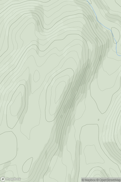
![Thumbnail image for Diollaid Mhor [Moidart and Ardnamurchan] showing contour plot for surrounding peak](/static/img/mountains_img_db/4507_Diollaid_Mhor_[Moidart_and_Ardnamurchan].png)
0
Ascents
Moidart and Ardnamurchan
0
751.0User Activity
No recent Activity
_(Eadan_an_Charnain).png)
0
Ascents
Derryveagh, Glendowan
0
192.0User Activity
No recent Activity
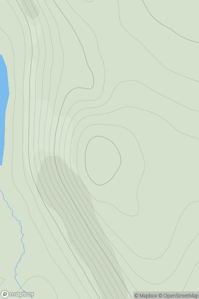
![Thumbnail image for Am Bathaich [Glen Shiel to Loch Hourn and Loch Quoich] showing contour plot for surrounding peak](/static/img/mountains_img_db/714_Am_Bathaich_[Glen_Shiel_to_Loch_Hourn_and_Loch_Quoich].png)
0
Ascents
Glen Shiel to Loch Hourn and Loch Quoich
0
899.0User Activity
No recent Activity
.png)
0
Ascents
Orkney Islands
0
102.0User Activity
No recent Activity