


0
Ascents

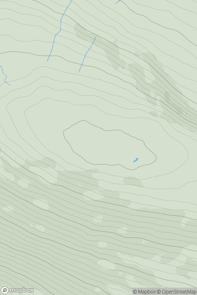
 Central Pennines
 0
0 556.0
556.0User Activity
No recent Activity
![Thumbnail image for Carn Dearg [Loch Ericht to Glen Tromie & Glen Garry] [NN658676] showing contour plot for surrounding peak](/static/img/mountains_img_db/5957_Carn_Dearg_[Loch_Ericht_to_Glen_Tromie_&_Glen_Garry]_[NN658676].png)
0
Ascents
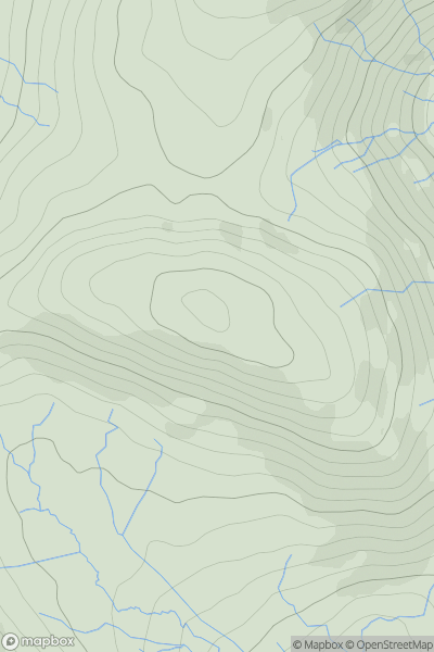
Loch Ericht to Glen Tromie & Glen Garry
0
557.7User Activity
No recent Activity
![Thumbnail image for Black Hill [The Glenkens to Annandale] [NS621041] showing contour plot for surrounding peak](/static/img/mountains_img_db/7224_Black_Hill_[The_Glenkens_to_Annandale]_[NS621041].png)
0
Ascents
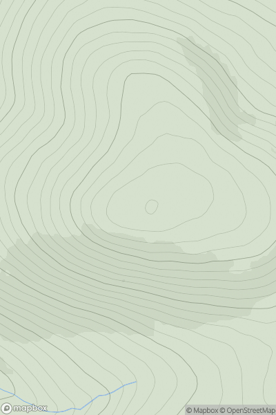
The Glenkens to Annandale
0
551.0User Activity
No recent Activity
0
Ascents
Lake District E
0
516.0User Activity
No recent Activity
0
Ascents
Altnaharra to Dornoch
0
592.0User Activity
No recent Activity
![Thumbnail image for The Mount [Firth of Forth to the River Tweed] [NT144575] showing contour plot for surrounding peak](/static/img/mountains_img_db/7305_The_Mount_[Firth_of_Forth_to_the_River_Tweed]_[NT144575].png)
0
Ascents
Firth of Forth to the River Tweed
0
538.0User Activity
No recent Activity